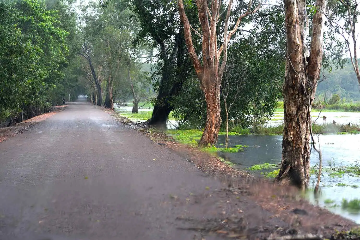
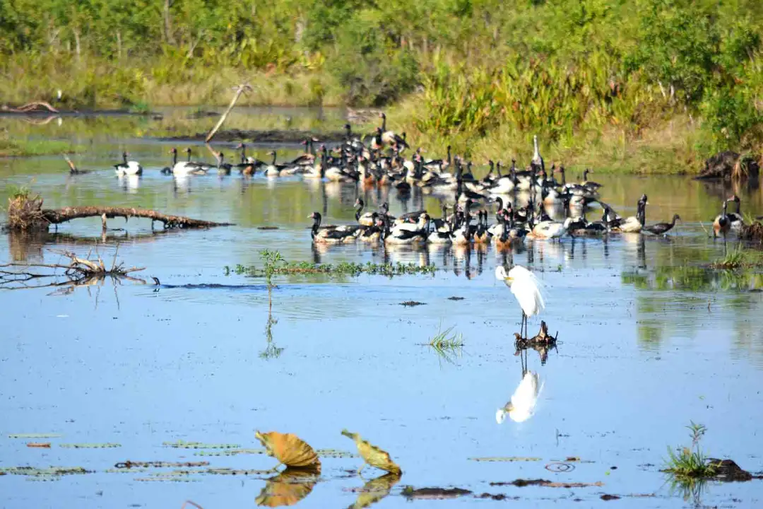
Fogg Dam
Where the wild things are
Fogg Dam Conservation Reserve
Where is Fogg Dam ?
The dam is located approximately 68 km to the South East of Darwin. You first drive south on the Stuart Highway before turning off on the Arnhem Highway towards Kakadu. You will drive past the township of Humpty Doo and soon arrive at the turnoff to Fogg Dam (Anzac Parade). You cant miss the turnoff as it is right after the Radio Transmitting Towers and clearly marked. 5 km down Anzac Parade you will turn into Fogg Dam Road. The entire journey is on sealed road and accessible all year round.
Things to do
There are a number of great things to do at Fogg Dam. walks around the dam which extend through the paperbark forest on the floodplains and another into the lilies of the dam. Bird watching / nature viewing is of course a regular attraction for the nature enthusiast with over 239 species of birds being recorded at this site.
How Big is the Dam ?
The dam is around 38 km square.
When was the dam built ?
Built in 1956 over a couple of weeks. It is an earth embankment dam which extends for a mile in a straight line across the floodplain.
How deep is Fogg Dam ?
The dam depth varies greatly in space and time. Along the dam wall there is a slight channel from when the earth was pushed up to form the dam and so it can be a little depth there. Max depth though over the entire dam is between 1.5 to 2 metres. Heavy organic and silt load complicate the measurement of ‘bottom’ though.
Does the Dam dry up ?
Large sections of the dam do dry up however there is always some water present in the area.
Where does the water come from for Fogg Dam ?
The main source of water is from seepage from nearby ‘Black Jungle’ reserve and Lambells Lagoon.
How far is Fogg Dam from the Coast ?
The coastline is approximately 30 – 35 km to the north of the dam. This is floodplain country which is dominated by clay soils and grasses.
How Far is Fogg Dam from the Adelaide River ?
As the crow flies the Adelaide River is 5 km due East of the dam.


Nearby
Nearby, only a few km down the road is the small village of Middle Point. More accurately it comprises of Middle Point junior school and a research station where CSIRO, University of Sydney and Charles Darwin undertake environmental studies in the area. Originally this was the base of CSIRO operations for the rice team but has since morphed into a broader environmental and agriculture research station.
The research groups have contributed greatly to knowledge of the ecosystems of the area with some ground breaking results showing the migratory behaviour of snakes in response to the movement of their favourite prey item (dusky rats). This was the first instance where snakes have been found to migrate for their tucker ! In turn it was found that the rats don’t do well during large flood events and atypical storms such as Cyclone Tracey. Numbers crashed and subsequently this was felt throughout the food chain.
Invasive animals have and continue to be a focus of study. In particular the implications of invasive animals such as cane toads and water buffalo are of prime interest. The first because if it’s widespread almost certain death outcome for all animals which think a frog looks tasty and the second for the widespread damage that buffalo do to the physical and chemical attributes of the wetlands of the Top End and also to increase the positive financial gains that come from farming Buffalo.
Useful Links
Weather
Our tour that goes to Fogg Dam